

Ozark Plateau
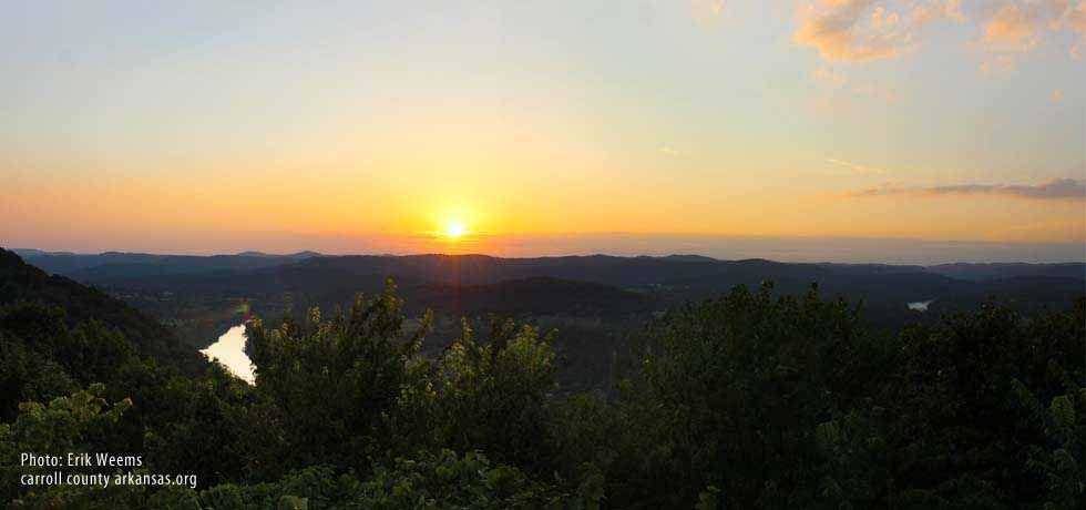
Lake and Dam SystemThe Ozarks Plateau; and the Six Ozark Lakes of the White River Basin
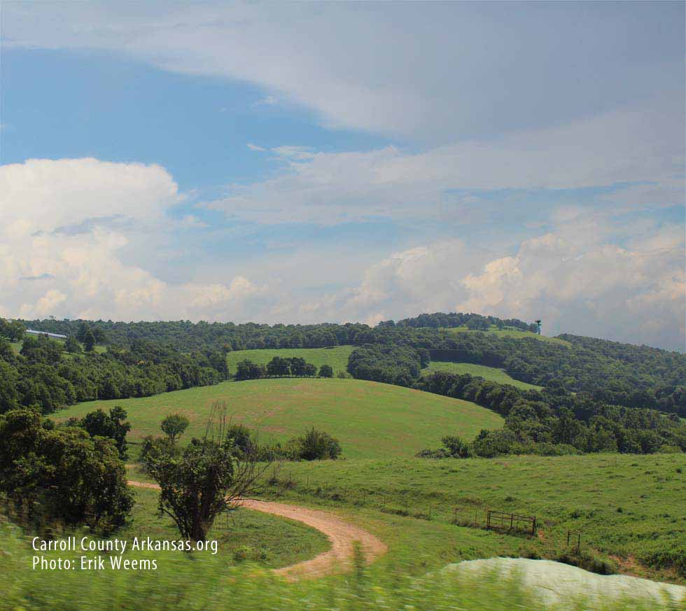
The Ozark Highlands
This map was created in Adobe Illustrator to show both the location of the White River Basin lakes, and to show their position on the Ozark Plateau. The lake names are in dark blue.
The Ozark Highlands is a 47,000 square mile (122,000 km) area usually referred to as the "Ozark Mountains."
It is considered the most extensive mountain range between the Appalachians and the Rocky Mountains, and coupled with the Ouachita Mountains is called officially the "United States Interior Highlands" (though the U.S. Geologic Survey also calls it the "Ozark-Ouachita Interior Highlands"). The area is dated as the oldest land mass area of the United States, categorized as "Paleozoic age carbonate" by the USGS.
A theory generated by date matching is that the Appalachias were once connected to the Ozark-Ouachita mountains, with the Texas' Marathon Mountains on the far Western side.