
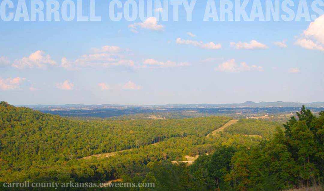
Carroll County
Named after Charles Carroll, signer of the United States Declaration of Independence.
Last Update: July 6, 2026

Carroll County is an Arkansas county composed of 639 square miles. The county has the unusual distinction of two county seats (Eureka Springs and Berryville) due to the seasonal swelling of the Kings River, which divides the county in a nearly vertical line. Historically, this made the river non-navigable and severed the county in two. Modern bridges solved this problem long ago, but the twin county seat solution has persisted until today.
Carroll County is Arkansas' 26th county, created on November 1, 1833, and named after Charles Carroll who was the last living signer of the United States Declaration of Independence. Charles Carroll lived in Carrollton, Arkansas, and died in 1832.
The 44-square mile Beaver Lake lies across the Northwest end of Carroll County.
According to 2010 U.S. Government census data, there are approximately 27,446 people living in Carroll County (overall population count for the state of Arkansas is 2,915,918 persons).
1 http://factfinder2.census.gov/faces/nav/jsf/pages/index.xhtml
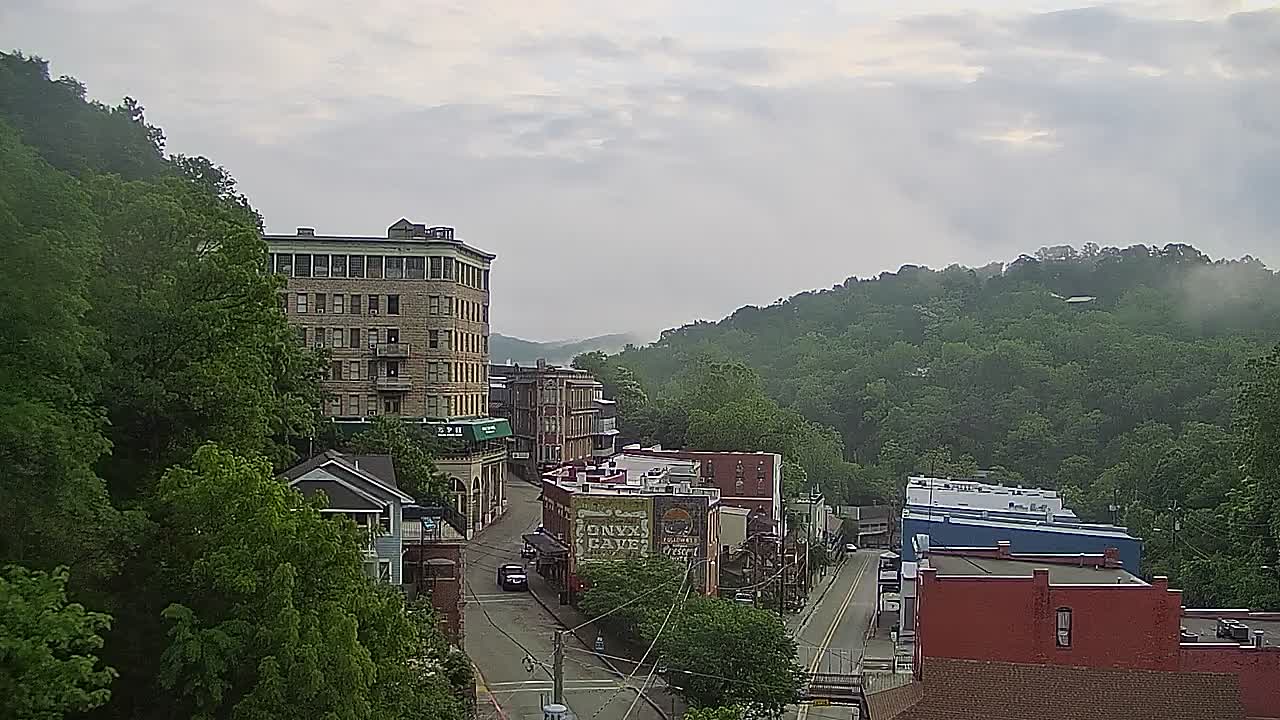
KY3 Springfield MO live image of Spring Street - their "Weather Cams" with live video of many places around the Ozarks, including Spring Street in Eureka Springs.
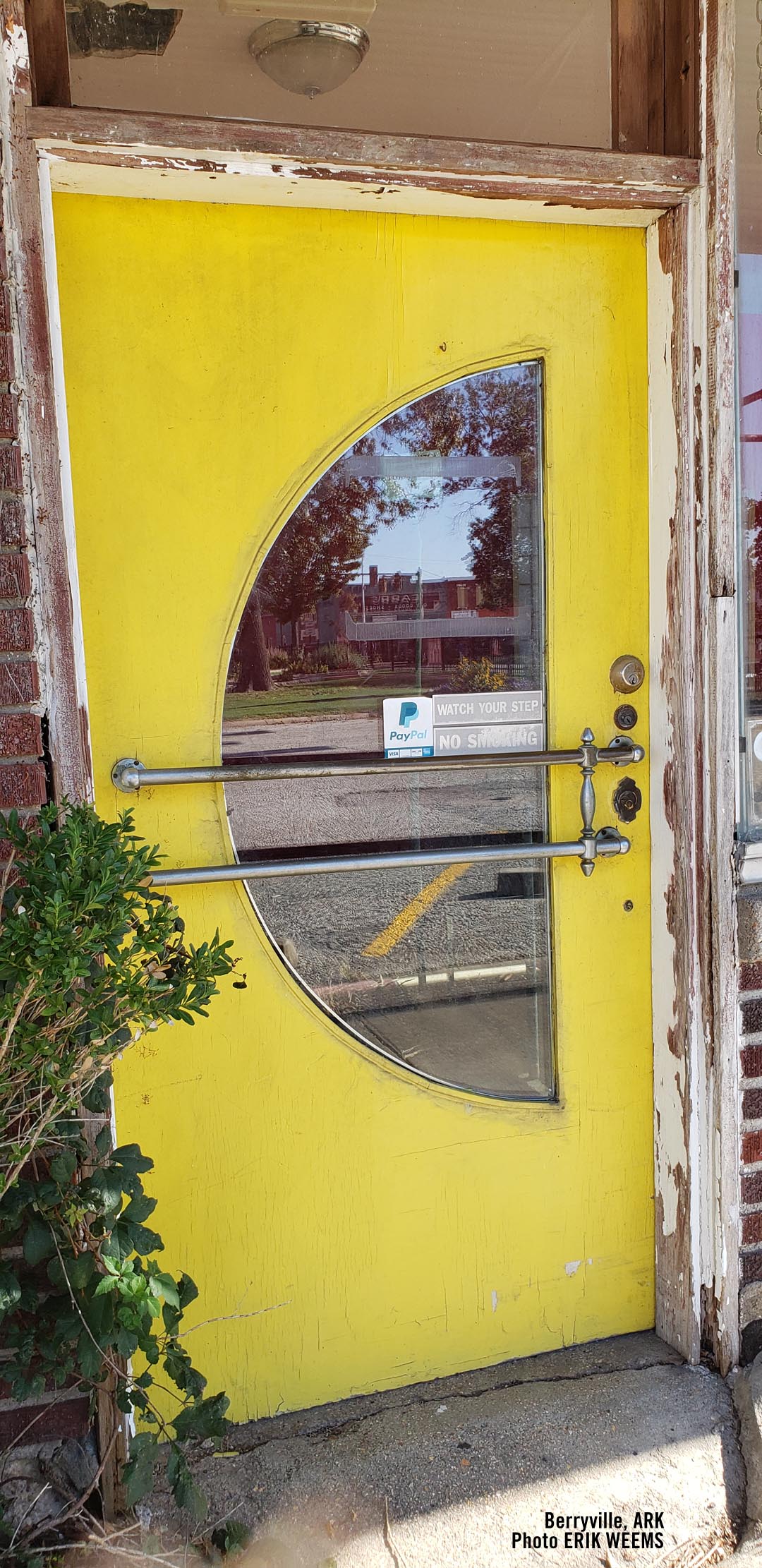
The yellow door at the Ozark Cafe on the Square in Berryville

Stoney Point Public Access, Kings River
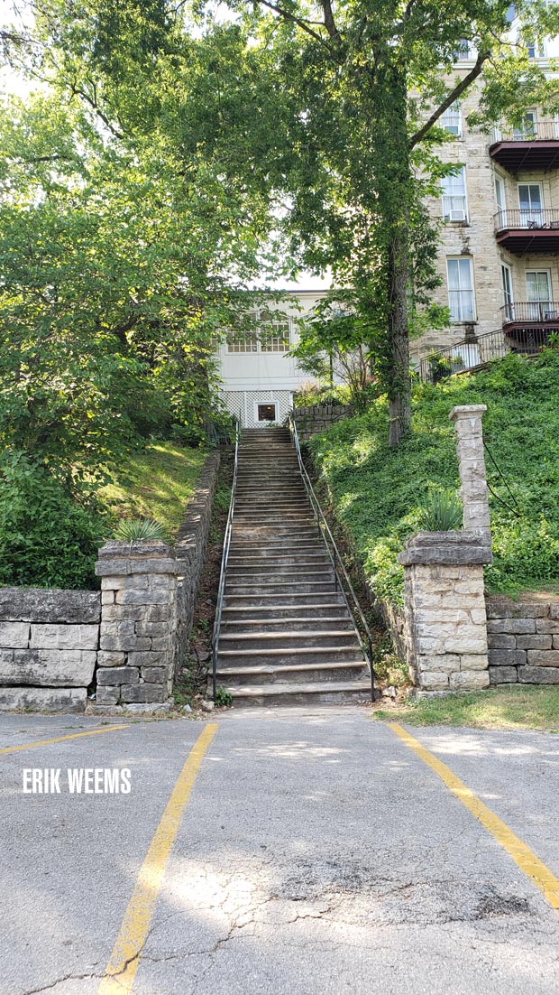
Steps up to the Crescent Hotel in Eureka Springs
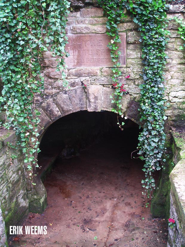
Grotto Spring in Eureka Springs